South of Fraser East - Area Transport Plan
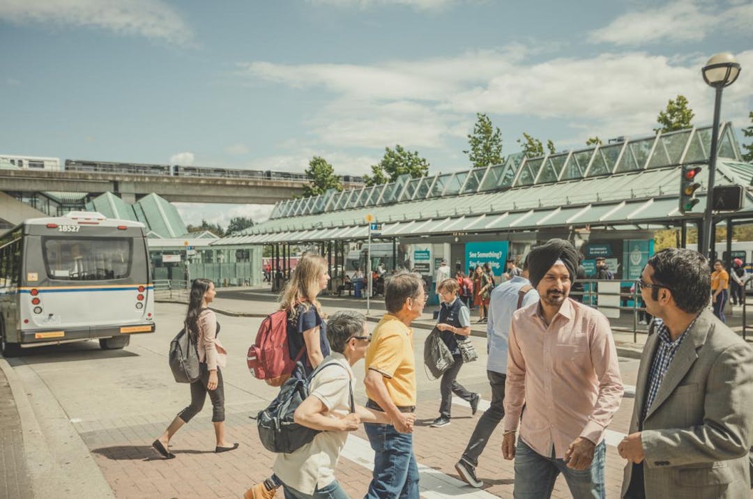
The South of Fraser East Area Transport Plan (ATP) is a medium-term plan to improve how people move around their communities. The plan will help TransLink decide where to invest over the next 15 years and will look at:
- Bus services and the overall transit experience
- Walking, rolling, and cycling routes to transit stations and bus loops
- Goods movement
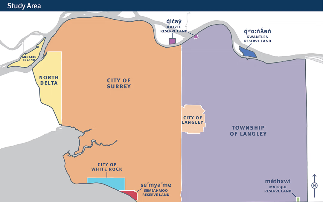
Where is the study area?
The study area includes the traditional and unceded territories of:
- q̓ic̓əy̓ (Katzie First Nation)
- q̓ʷɑ:n̓ƛ̓ən̓ (Kwantlen First Nation)
- máthxwi (Matsqui First Nation)
- se’mya’me (Semiahmoo First Nation)
This includes the areas of North Delta, City and Township of Langley, the City of Surrey, and the City of White Rock.
This plan will:
- Look at local bus routes and areas where bus service doesn’t yet exist or where there isn’t enough,
- Look at where local buses need to be faster and more reliable,
- Look at how streets connecting to transit stations and bus loops can be made safer for walking, cycling, and the use of small mobility devices like electric wheelchairs,
- Support the safe movement of goods that communities rely on,
- Support other regional plans, including Transport 2050 (the Regional Transportation Strategy) and Access for Everyone (the 10-year transportation priorities for the region), and
- Guide future investment decisions.
For more information on this study, please visit the South of Fraser East Area Transport Plan page on translink.ca.
Page last updated: 02 Mar 2026, 10:43 AM